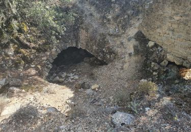
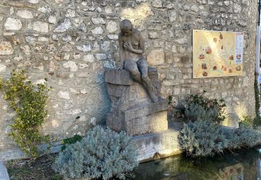
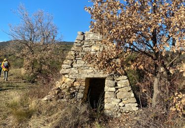
Tocht Fiets La Bastide-des-Jourdans - Parcours n°21 - La Bastide-des-Jourdans - Photo

Parcours n°21 - La Bastide-des-Jourdans

Randonnées de Vélo Loisir Provence GUIDE+

© OpenStreetMap contributors
Lengte
Lengte
40 km
Max. hoogte
Max. hoogte
526 m
Positief hoogteverschil
665 m
Km-Effort
Km-Effort  
49 km
Min. hoogte
Min. hoogte
244 m
Negatief hoogteverschil
666 m
Boucle
Boucle
Ja
Datum van aanmaak :
2015-01-07 00:00:00.0
Laatste wijziging :
2015-01-07 00:00:00.0

(2 Bericht)

Fiets
Fiets
2h49
Moeilijkheid : Medium

Scan deze QR-code om de tocht te openen in de SityTrail-applicatie

Gratisgps-wandelapplicatie

Logo SityTrail SityTrail

IGN / Geografische instituten

SityTrail uit de App Store downloaden SityTrail uit Google Play downloaden

Logo SityTrail SityTrail World

De wereld gaat voor u open

SityTrail uit de App Store downloaden SityTrail uit Google Play downloaden SityTrail op Huawei AppGallery downloaden

Over ons

Tocht Fiets van 40 km beschikbaar op Provence-Alpes-Côte d'Azur, Vaucluse, La Bastide-des-Jourdans. Deze tocht wordt voorgesteld door Vélo Loisir Provence.

Beschrijving

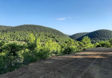
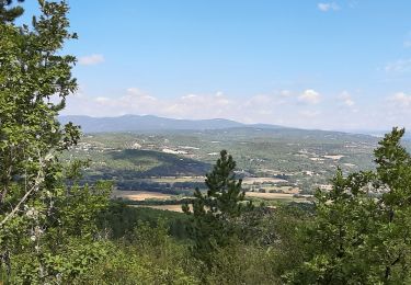
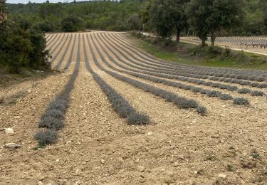
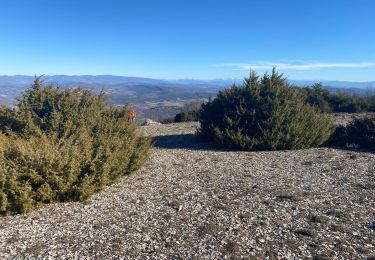
This itinerary invites you to take the road through the foothills of the southern Grand Luberon. A Luberon which is far from the tourist routes where all the landscapes, whether natural or agricultural leave you with a feeling of calm and encourage you to discover them. Direction of the itinerary : La-Bastide-des-Jourdans => Beaumont-de-Pertuis => Mirabeau => La Bastidonne => La Tour-d’Aigues => Grambois => La-Bastide-des-Jourdans

Hoogteprofiel

Foto's

Plaatsbepaling

Land:
France
Regio :
Provence-Alpes-Côte d'Azur
Departement/Provincie :
Vaucluse
Gemeente :
La Bastide-des-Jourdans
Locatie:
Unknown
Vertrek:(Dec)
Vertrek:(UTM)
711970 ; 4851445 (31T) N.

Opmerkingen

Gelieve in te loggen om een commentaar of een beoordeling achter te laten


Chaussée déformée entre Mirabeau et la Bastidonne avec aussi beaucoup de circulation.


beaucoup de circulation entre Grambois et la Tour d'Aigues.attention!


Wandeltochten in de omgeving

Tocht Stappen Grambois - 2024-10-01 Grambois et les ruines des templiers  - Photo
Stappen
GUIDE
Kargil

Stappen

Moeilijk
Grambois, Provence-Alpes-Côte d'Azur, Vaucluse, France
12 km | 16 km-effort
3h 38min
Ja
Tocht Stappen La Bastide-des-Jourdans - Balade autour de la Bastide des Jourdans - Photo
Stappen
Dadou 1

Stappen

La Bastide-des-Jourdans, Provence-Alpes-Côte d'Azur, Vaucluse, France
6,1 km | 7,9 km-effort
1h 42min
Ja
Tocht Stappen La Bastide-des-Jourdans - Les Collets du Luberon Est - Photo
Stappen
ALAPETITE

Stappen

Medium
(1)
La Bastide-des-Jourdans, Provence-Alpes-Côte d'Azur, Vaucluse, France
17,9 km | 26 km-effort
5h 50min
Ja
Tocht Stappen Peypin-d'Aigues - Peypin-d’Aigues d’Aigues les Dones nord - Photo
Stappen
Dadou 1

Stappen

Medium
Peypin-d'Aigues, Provence-Alpes-Côte d'Azur, Vaucluse, France
7,3 km | 11,5 km-effort
2h 41min
Ja
Tocht Stappen Vitrolles-en-Luberon - Mascas Mourre negre  - Photo
Stappen
GUIDE
antignacs

Stappen

Medium
Vitrolles-en-Luberon, Provence-Alpes-Côte d'Azur, Vaucluse, France
25 km | 35 km-effort
7h 1min
Ja
Tocht Stappen La Bastide-des-Jourdans - la bastide des jourdan.  - Photo
Stappen
Roger

Stappen

Medium
La Bastide-des-Jourdans, Provence-Alpes-Côte d'Azur, Vaucluse, France
9,4 km | 13,5 km-effort
2h 55min
Ja
Tocht Stappen Vitrolles-en-Luberon - vitrolles en Lubéron. aire des mascas - Photo
Stappen
Roger

Stappen

Medium
Vitrolles-en-Luberon, Provence-Alpes-Côte d'Azur, Vaucluse, France
9,9 km | 16,2 km-effort
3h 19min
Ja
Tocht Stappen Grambois - La Pourraque Beaumont de Pertuis 84 - Photo
Stappen
Dadou 1

Stappen

Gemakkelijk
Grambois, Provence-Alpes-Côte d'Azur, Vaucluse, France
8,1 km | 10,6 km-effort
2h 34min
Ja
Tocht Stappen Céreste - Col des Mascas 84 - Photo
Stappen
Dadou 1

Stappen

Heel gemakkelijk
Céreste, Provence-Alpes-Côte d'Azur, Alpes-de-Haute-Provence, France
8,3 km | 11,9 km-effort
3h 45min
Ja


Sluiten
Mijn abonnementen